Physical Address
304 North Cardinal St.
Dorchester Center, MA 02124
Physical Address
304 North Cardinal St.
Dorchester Center, MA 02124

Google Earth AI gets a major upgrade with Gemini, allowing complex natural language queries for real-time climate, disaster, and environmental analysis.
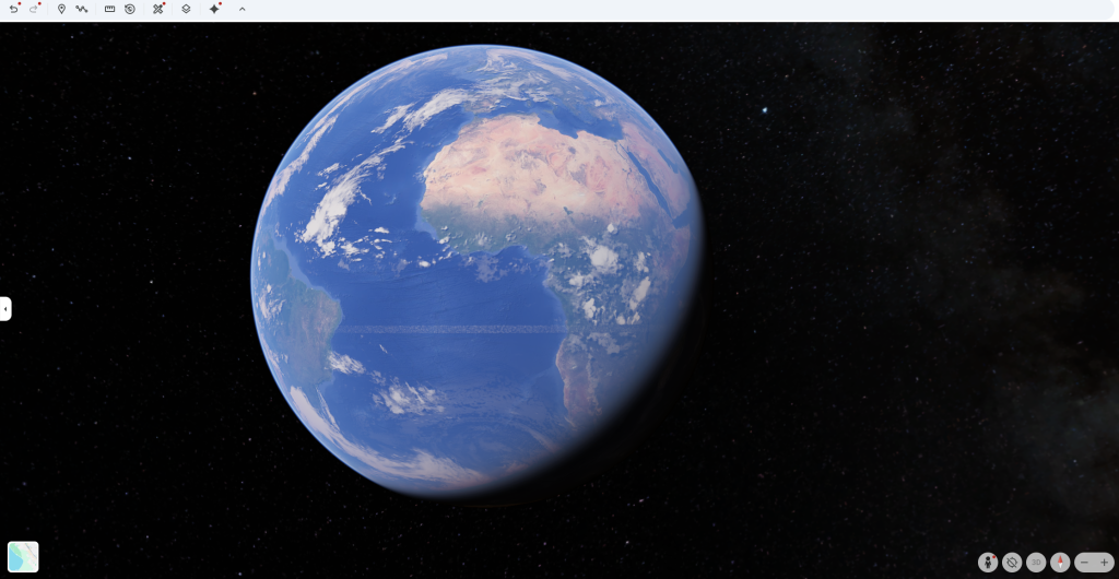
Google unveiled a comprehensive upgrade to its Earth AI platform on Thursday, introducing natural language capabilities that allow users to ask complex questions about climate patterns and environmental change in real-time. This enhanced system, powered by the company’s Gemini AI model, can now automatically connect weather forecasts, population data, and satellite imagery to provide a comprehensive analysis of disasters and community vulnerability.

At the heart of the announcement is “geospatial reasoning,” a new framework that enables the AI to “think across” different types of Earth data simultaneously. Instead of just predicting where a hurricane might strike, the system can, in a single query, identify which communities are at risk of flooding, estimate the affected population, and assess the vulnerability of critical infrastructure.
Organizations are already leveraging these capabilities for urgent humanitarian needs. The non-profit GiveDirectly is using the technology to combine flood forecasts with population density information, helping to route financial aid directly to the most at-risk families following a disaster. The World Health Organization (WHO) Africa Regional Office is using Earth AI models with their own datasets to predict cholera outbreaks in the Democratic Republic of Congo, allowing for better management of water, sanitation, and vaccination resources.

Google is expanding access through several tiers. Experimental features will roll out to Google Earth Professional ($75/month) and Professional Advanced ($150/month) subscribers in the US over the coming weeks.
Subscribers to Google AI Pro ($19.99/month) and Ultra ($249.99/month) will get immediate access to the enhanced Gemini features within Google Earth, complete with higher query limits.
The platform’s real-world impact was highlighted during the 2025 California wildfires, where Google’s crisis alert system covered 15 million Los Angeles residents, guiding them to nearby shelters via Maps. This enhanced system represents a significant shift from reactive disaster response to proactive prevention, helping organizations anticipate challenges and identify the most vulnerable populations before a crisis hits.